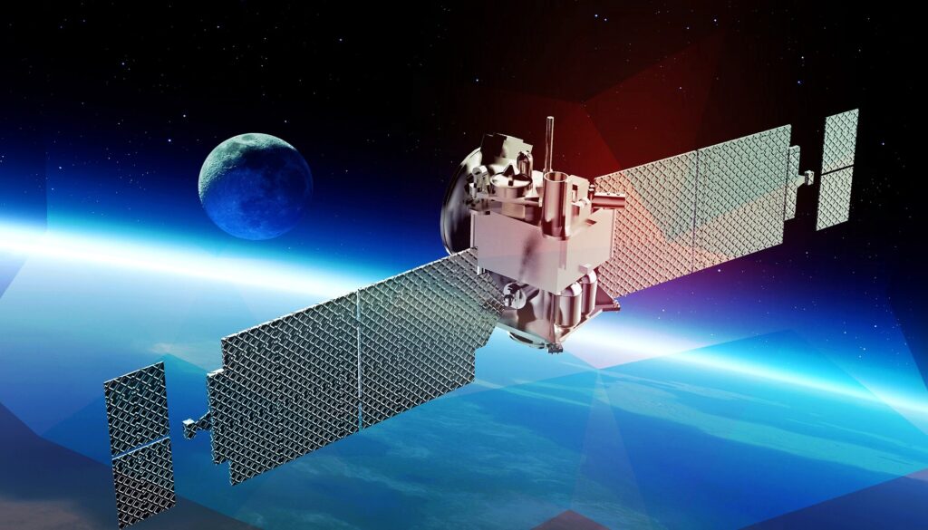
Satellites have become an essential tool for monitoring the environment and improving public health. Through Earth observation, satellite data is used to track and predict factors such as air pollution, UV radiation, pollen levels, mosquito-borne diseases, and heatwaves. These efforts help governments, researchers, and individuals make informed decisions to protect their health.
In Europe, the Copernicus programme plays a major role in this endeavor. Managed by the European Centre for Medium-Range Weather Forecasts (ECMWF), the Copernicus Health Hub focuses on studying the connection between environmental changes and human health. By providing accurate and timely data, satellites help mitigate health risks and create strategies for better public well-being.
Here are five critical ways satellites are helping improve public health:
1. Protecting Against Harmful UV Radiation
Overexposure to ultraviolet (UV) radiation can lead to serious health problems, including skin cancer, sunburn, and eye damage. To minimize these risks, the World Health Organization (WHO) developed the UV Index, which measures the intensity of UV radiation and its potential harm. Satellites, particularly through the Copernicus Atmosphere Monitoring Service (CAMS), track UV levels by analyzing ozone concentrations, cloud cover, and atmospheric particles.
CAMS provides forecasts of UV radiation levels up to five days in advance. Many weather apps now integrate this data, allowing individuals to monitor the UV index in their area. This gives people the information they need to take proper precautions, such as applying sunscreen or limiting exposure during peak hours. With more people aware of the dangers of UV radiation, fewer are at risk for health problems associated with overexposure.
2. Forecasting and Preventing Air Pollution
Air pollution is a growing global health issue, responsible for millions of deaths each year. In Europe alone, poor air quality leads to approximately 500,000 premature deaths annually. Air pollution is linked to respiratory diseases, heart conditions, stroke, and complications during pregnancy.
Satellites are pivotal in predicting and understanding pollution levels. By combining satellite imagery with advanced weather models, scientists can predict pollution levels and warn populations in affected areas. Platforms like BreezoMeter and Windy use satellite data to provide real-time air quality updates, enabling people to make decisions about outdoor activities and pollution exposure.
These predictions are crucial in reducing the health risks posed by air pollution, especially in cities where pollution levels are at their highest. Accurate forecasts help authorities issue timely warnings and take action to protect vulnerable populations.
3. Monitoring Allergy Triggers and Pollen Levels
Allergies, especially those caused by pollen, affect millions of people worldwide. In Europe, nearly 40% of the population suffers from allergies, and with climate change, this number is expected to rise. Warmer temperatures and longer growing seasons contribute to higher pollen production, intensifying allergy symptoms.
Satellites play a critical role in tracking pollen levels, particularly for common allergens like birch, olive, alder, and grass. Through CAMS, satellite data and numerical models are used to forecast pollen levels, with predictions available up to four days in advance. Allergy sufferers can use this data to plan their outdoor activities, take medications, or avoid high pollen areas to minimize symptoms.
In addition to pollen tracking, satellites are also helping scientists understand how air pollution interacts with allergens. Studies show that pollutants in the air can worsen allergy symptoms, leading to more severe respiratory conditions. By monitoring both allergens and pollution, satellite data allows for better management of allergy-related health issues.
4. Mapping the Spread of Mosquito-Borne Diseases
Mosquitoes are responsible for more deaths than any other animal, spreading diseases such as malaria, dengue, and chikungunya. With changing climates, some mosquito species are expanding their range into new areas, including Europe. Understanding this migration is crucial to controlling the spread of these diseases.
Satellites help track environmental conditions—such as temperature, humidity, and stagnant water—that are ideal for mosquitoes. The Copernicus Service collects and analyzes this data to predict potential mosquito habitats and monitor the movement of disease-carrying species, such as the Asian tiger mosquito and yellow fever mosquito.
Projections show that the tiger mosquito, known for spreading diseases like dengue and chikungunya, could continue to spread across Europe until at least 2085. By monitoring environmental factors through satellite data, scientists can predict where these mosquitoes are likely to thrive and take preventive actions, such as spraying insecticides or warning the public in high-risk areas.
5. Predicting and Responding to Extreme Heatwaves
Heatwaves have become more frequent and severe, particularly with the intensification of climate change. Extreme heat increases the risk of heatstroke, dehydration, and cardiovascular issues, particularly among vulnerable groups like the elderly and children.
The Copernicus programme has been tracking temperature patterns and heat events, providing vital information to help urban planners and health authorities respond effectively. In the summers of 2023 and 2024, Europe experienced record-breaking heat, with Augusts tying as the hottest on record. These heatwaves underline the growing public health threat posed by rising temperatures.
Using satellite data, experts can predict and monitor extreme heat events. The Flemish Institute of Technological Research developed an application that forecasts the intensity of heatwaves across Europe, both in the near future (2031–2060) and long term (2071–2100). This tool helps policymakers design cities that can withstand heatwaves, focusing on strategies like increasing green spaces and enhancing urban ventilation to reduce heat stress.
Conclusion
Satellites have revolutionized how we monitor and address environmental health risks. By tracking factors like UV radiation, air pollution, pollen levels, mosquito-borne diseases, and heatwaves, satellite tech provides essential data to protect public health and prevent illnesses.
As climate change continues to shape global health challenges, satellites will play an even more significant role in developing proactive solutions to safeguard the health of communities worldwide.
For more updates on environmental monitoring and public health, visit Euro News 24.
